World Geography and Map Skills for Grade 6
Grade 6 social studies often becomes more global. Students are expected to move beyond local maps and state studies into world geography, where map reading is tied to questions about climate, resources, settlement, culture, and movement. The goal is not to memorize every country or capital. The goal is to use geography as a tool for explaining why places are different and why people interact the way they do. Strong geography instruction helps students notice patterns. A map can show more than location. It can also help explain why deserts have fewer large settlements, why port cities grow near coasts, why rivers support farming, and why trade routes connect distant regions. When students learn to read maps this way, geography becomes analytical instead of decorative. This topic builds the foundation for later history and economics work. Ancient civilizations, trade networks, migration, conflict, and environmental decisions all make more sense when students can interpret where things are, what the physical setting is like, and how people respond to those conditions.
Why World Geography Matters
World geography helps students organize information about places and connections across the planet. Instead of treating every region as a separate list of facts, geography gives a structure for comparing climate, landforms, resources, population, and movement. Students can ask the same guiding questions in many places: What is this place like? What natural features matter here? How do people live and work here? How does this place connect to others?
That habit of comparison is one of the strongest reasons to teach geography carefully. Students begin to see that location influences opportunity and challenge. A region with major rivers may support farming and transportation. A mountainous region may shape travel differently. A coastal area may connect more easily to trade. Geography does not decide everything, but it strongly affects what is possible and what becomes difficult.
When students understand this, they stop seeing maps as posters on the wall and start seeing them as evidence. Geography becomes a way to explain patterns in history, economics, culture, and civic decision-making.
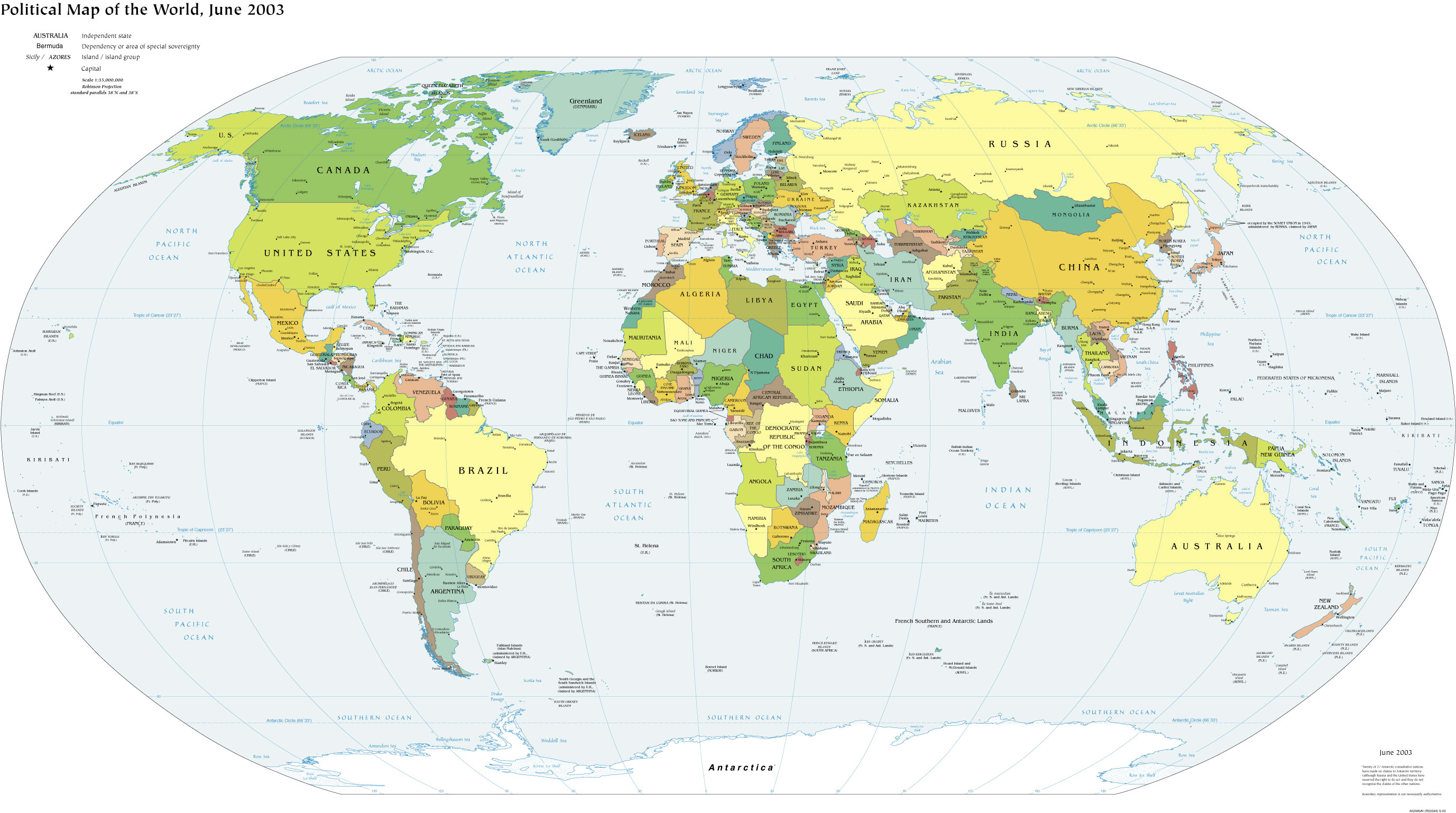
World Maps, Continents, and Hemispheres
A world map gives a broad view of Earth, but students need a few clear organizing ideas to use it well. Continents help group large land areas. Hemispheres divide Earth into halves, such as Northern and Southern or Eastern and Western. These labels are useful because they help describe broad patterns in climate, season, and location.
Students should not confuse hemispheres with continents or countries. A hemisphere is a large half of Earth, while a continent is a major landmass. A country is a political unit. Keeping those categories separate prevents common confusion in middle-school geography.
These labels matter because they allow students to describe place precisely. Saying that Brazil is in South America and mostly in the Southern Hemisphere gives meaningful geographic information. It helps students place regions in relation to one another and prepares them to think about climate zones and global movement.
Latitude and Longitude Add Precision
Latitude and longitude make geography more exact. Latitude lines run east to west and measure distance north or south of the equator. Longitude lines run north to south and measure distance east or west of the prime meridian. Together, they help people locate places more precisely than continent or hemisphere labels alone.
Students do not need advanced coordinate calculations at first, but they should understand what each system measures and why it matters. Latitude often helps explain climate patterns because places closer to the equator receive sunlight differently than places farther north or south. Longitude mainly helps with exact location and navigation.
This topic becomes much stronger when teachers connect map skill to interpretation. If two places are at similar latitudes, students can ask whether they might share climate features. If a place is described by latitude and longitude, students can locate it using evidence instead of guessing from memory.
Physical Geography Shapes Human Choices
Physical geography includes landforms, water systems, climate, and natural resources. These features influence how people build settlements, grow food, travel, and protect themselves. A fertile river valley can support agriculture. A mountain range can make travel slower and separate groups. A dry climate may require careful water use. Students should see that geography creates conditions people must respond to.
This does not mean geography controls human life completely. People adapt in creative ways. They build roads, irrigation systems, ports, and new forms of housing. But physical geography still matters because adaptation always starts with the conditions a place provides.
Good geography instruction helps students explain these relationships clearly. Instead of saying a city grew for no reason, students can connect settlement to access to water, routes, farmland, or trade. That habit prepares them for stronger historical and economic explanations later.
Human Geography Focuses on How People Organize Space
Human geography looks at how people use land, build communities, create political boundaries, and develop cultural and economic patterns. Students can study language regions, urban areas, migration routes, trade centers, and borders as examples of human geography. This part of geography helps explain how people organize life on the landscape.
It is useful for students to compare physical and human geography directly. A river is physical geography. A port city built on that river is human geography. A mountain range is physical geography. A border or travel corridor that crosses it is human geography. This comparison helps students see how the natural world and human decisions interact.
Human geography also reminds students that maps are about people as well as land. Population maps, political maps, climate maps, and resource maps all tell different stories. Choosing the right map for the question is part of strong geographic thinking.
Geography Explains Movement, Trade, and Connection
One of the most important reasons to study world geography is that it explains connection. People move because of opportunity, safety, trade, conflict, and environment. Goods move along trade networks shaped by coasts, rivers, passes, and transportation routes. Ideas and cultural practices spread along these same connections. Geography helps students understand why some places become crossroads and others remain more isolated.
This idea is especially important in Grade 6 because later units on civilizations and economics depend on it. Trade routes do not appear randomly. They follow patterns that make movement possible. Population centers do not grow in exactly the same way everywhere. Their location is influenced by geography, resources, and human choices.
When students connect map skills to movement and interaction, they begin to see geography as a living system. It is not only about naming places. It is about explaining how places influence human action and how human action reshapes places over time.
📝 Key Vocabulary
📐 Standards Alignment
Apply people, places, and environments concepts to interpret world maps and regional patterns.
Use global connections to explain how geography influences movement, exchange, and interaction.
View all Grade 6 Social Studies standards →
🔗 Glossary Connections
⚠️ Common Mistakes to Watch For
- Confusing continents, hemispheres, and countries as if they are the same kind of place
- Mixing up latitude with longitude
- Treating geography as memorization only instead of using it to explain settlement and movement